


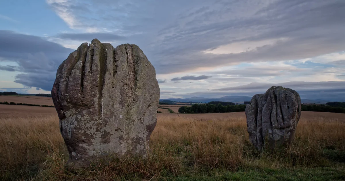
The discipline of landscape photography is frequently perceived as an act of spontaneous observation, yet professional results are almost invariably the product of meticulous pre-production and logistical rigor. While the romanticized image of the photographer involves wandering into the wilderness and capturing a fleeting moment of light, the reality is that such successes are rarely accidental. Strategic planning serves as the bridge between a mediocre snapshot and a high-resolution masterpiece. This comprehensive analysis explores the multifaceted requirements of landscape photography preparation, ranging from technical gear management and physical safety to navigational proficiency and environmental ethics.
The Technical Foundation: Gear Preparation and Sensor Optimization
The first phase of a successful landscape expedition begins hours, if not days, before the photographer arrives at the location. Technical failure in the field is often a direct result of neglected maintenance during the pre-departure phase. Industry experts emphasize a rigorous checklist: ensuring lithium-ion batteries are fully cycled and charged, and verifying that high-speed SD or CFexpress cards have been formatted and cleared of previous data.
In coastal environments, where salt spray and humidity pose significant risks to internal camera components, the preparation takes on a more protective nature. Professionals often advocate for "pre-configuring" the camera in a controlled environment. This includes mounting the primary lens—frequently a wide-angle glass such as a 14-24mm or 16-35mm—and attaching essential filters like circular polarizers or Neutral Density (ND) filters before exposure to the elements. The use of a quick-release tripod plate is also a standard efficiency measure, allowing for rapid deployment in changing light conditions.

Furthermore, technical planning involves pre-calculating the hyperfocal distance. For instance, using a 7mm lens on a Micro Four Thirds system or a 14mm lens on a full-frame sensor at an aperture of f/8 allows for a specific depth of field that ensures sharpness from the immediate foreground to infinity. Modern sensor-shift technology, which allows some cameras to produce 80-megapixel or higher composite images, requires additional stability and planning, as these shots are highly sensitive to even the slightest vibrations.
Risk Management and Physical Safety in Rugged Terrain
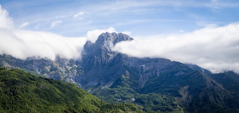
Landscape photography often necessitates operating in remote or hazardous environments during the "marginal hours"—dawn and dusk—when light is most dramatic but visibility is lowest. Consequently, safety planning is not merely a suggestion but a critical operational requirement.
Statistics from mountain rescue organizations, such as those operating near Ben Nevis in Scotland, highlight the dangers of inadequate preparation. Ben Nevis, the highest peak in the British Isles, is notorious for its "North Face" and "Five Finger Gully," areas where photographers and hikers often lose their bearings in the mist. Navigational errors in such terrain can lead to "cliffing out," where an individual becomes trapped on a precipice.
To mitigate these risks, professional photographers adhere to a strict safety protocol:
- Notification Systems: Informing a third party of the exact GPS coordinates of the shoot and the expected time of return.
- Environmental Protection: Utilizing high-performance, moisture-wicking layers and robust footwear designed for scree or wet rock.
- Emergency Provisions: Carrying a specialized first aid kit, high-calorie emergency rations, and a minimum of two liters of water.
- Analog Redundancy: While digital GPS tools are standard, the potential for battery failure in cold temperatures necessitates the inclusion of a physical topographic map and a magnetic compass, along with the skill set to use them.
Chronology of a Planned Landscape Shoot
A successful shoot follows a logical timeline that balances technical preparation with environmental awareness.
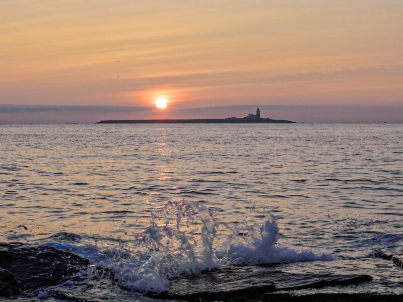
- T-Minus 24 Hours: Review weather patterns using high-resolution meteorological data. Check tide tables for coastal locations, as tidal surges can significantly alter the foreground or pose entrapment risks.
- T-Minus 5 Hours: Final gear check. Clean all optical surfaces. Pre-pack the rucksack to ensure weight is distributed evenly for hiking.
- Arrival (Pre-Light): Arrive at the location at least 60 to 90 minutes before the "Golden Hour." This window allows for physical scouting of the terrain without the pressure of fading light.
- The Execution Window: As light conditions shift, the photographer transitions from wide-angle vistas to long-exposure techniques, perhaps utilizing an ND1000 filter to smooth turbulent water or moving clouds.
- Post-Shoot: Conduct an immediate equipment wipe-down to remove moisture or salt. Log the location’s performance for future reference.
Navigational Proficiency and the Digital-Analog Divide
The integration of technology has revolutionized how photographers navigate the wilderness. Applications such as Earth.gl, PhotoPills, and The Photographer’s Ephemeris allow for the precise tracking of celestial bodies, enabling a photographer to know exactly where the sun or moon will rise relative to a specific landmark.
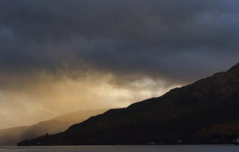
However, over-reliance on digital tools is a documented point of failure in the field. Cold weather can reduce smartphone battery life by up to 50% in a matter of minutes, and cloud cover can occasionally interfere with GPS accuracy. The "North Face" of Ben Nevis serves as a stark reminder; the transition from a summit to a descent involves a 360-degree choice of direction. Without a compass or a pre-defined bearing, the risk of descending into a technical climbing zone is high. Therefore, the "Strategic Plan" must include a secondary, non-electronic navigation method.
Ethical Considerations and Environmental Impact
As landscape photography grows in popularity, the environmental impact on "iconic" locations has become a point of concern for conservationists. The "Instagram Effect" has led to the degradation of fragile ecosystems due to foot traffic and litter.
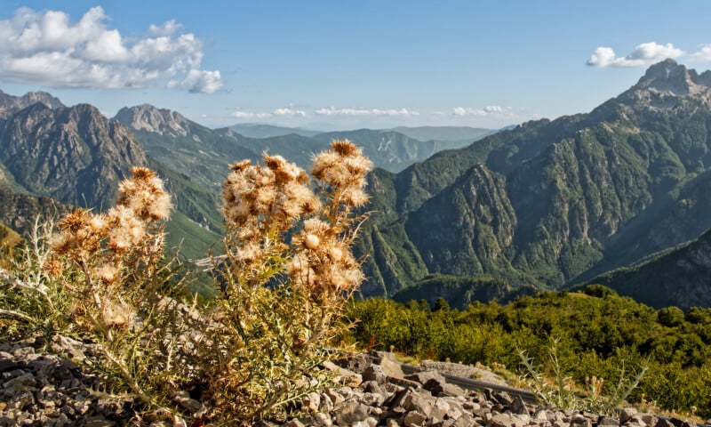
The professional community has responded by championing the "Leave No Trace" principles. This ethos extends beyond merely not littering; it involves "disturbing nothing but the air." In sensitive habitats, such as those housing nesting birds or rare alpine flora, the photographer’s presence must be non-intrusive. Statements from environmental agencies suggest that the survival of certain species is directly linked to the minimization of human-wildlife conflict during peak breeding seasons.
Furthermore, social ethics play a role in the modern landscape. The concept of "Photographic Karma"—yielding a prime tripod spot to a fellow enthusiast or a tourist—is increasingly viewed as a necessary component of the hobby’s social fabric. In high-traffic areas, cooperation rather than competition ensures that the experience remains mindful and productive for all parties involved.
Cognitive Approaches: Flexibility vs. Visualization
A notable debate within the photographic community concerns the role of visualization. Many traditionalists argue that a photographer should "see" the final image in their mind before even setting up the tripod. However, this approach can be limiting for those with aphantasia—a cognitive condition where individuals are unable to visualize mental imagery.
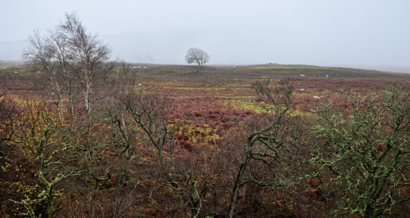
For photographers with aphantasia, or those who prefer a more organic approach, the strategy shifts from "visualization" to "exploration." By focusing on the structural elements of a scene—leading lines, the balance of mass within the frame, and the management of scale—the photographer can adapt to real-time changes in the environment. This flexibility is often more effective in volatile weather, where a pre-visualized "perfect sunset" may be replaced by a dramatic, overcast storm. Adapting to the "LiveND" or "Focus Stacking" requirements of the moment allows for a diverse portfolio that reflects the true nature of the landscape rather than a forced preconception.
Post-Shoot Evaluation and the Cycle of Improvement
The final stage of the planning process occurs in the studio. Post-shoot evaluation is the data-driven analysis of what succeeded and what failed. Professionals review their "metadata"—shutter speeds, apertures, and ISO settings—to determine the technical efficacy of their choices.
By analyzing failed compositions before deleting them, photographers can identify recurring distractions or structural weaknesses in their work. This reflective practice ensures that the planning for the next expedition is informed by the lessons of the last. As technology advances and the global climate shifts, the ability to plan, adapt, and respect the environment remains the hallmark of a true landscape professional. The next evolution of this practice will likely involve even greater integration of AI-driven weather modeling and remote sensing, further refining the bridge between the photographer’s intent and the natural world’s unpredictable beauty.