


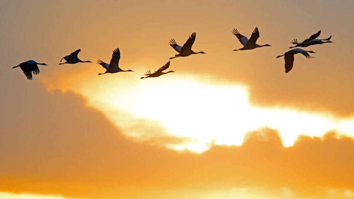
Every autumn, as the sun dips below the horizon across the United States, a massive, silent biological phenomenon begins. Millions of birds take to the skies, embarking on journeys that span thousands of miles, navigating continents in the cloak of darkness. While these migrations have occurred for millennia, they remained largely mysterious to human observers for most of history, hidden by the sheer altitude of the flight paths and the cover of night. Today, however, ornithologists have gained an unprecedented window into this aerial migration, utilizing sophisticated weather radar networks to map, track, and even predict the movements of billions of birds in real-time.
The technological leap that allows for this observation is rooted in the early days of radar development. During World War II, British radar operators manning early warning systems began reporting mysterious, fuzzy echoes on their screens. These signals did not correspond to the signatures of enemy aircraft or identifiable weather fronts. The operators, perplexed by these ephemeral phenomena, dubbed them "angels." It would take years of post-war investigation before researchers confirmed that these "angels" were, in fact, mass movements of birds.
The Evolution of Radar in Ornithology
The transition from accidental discovery to a precise scientific tool was a slow, deliberate process. Throughout the mid-20th century, radar technology improved, allowing scientists to distinguish between biological "clutter" and precipitation. By the 1990s and into the early 21st century, the widespread deployment of the WSR-88D, or NEXRAD (Next-Generation Radar) network in the United States, provided the necessary infrastructure for large-scale avian monitoring.
The NEXRAD system consists of 160 high-resolution Doppler weather radars across the U.S. Because these systems are designed to detect water droplets in the atmosphere, they are highly sensitive to biological targets, including birds, bats, and large insects. By analyzing the velocity, intensity, and spatial distribution of these radar returns, ornithologists can now estimate the volume of birds in the air, the direction of their travel, and their approximate altitude.

The Dynamics of Nocturnal Migration
The decision to migrate under the cover of darkness is an evolutionary strategy optimized for survival. Nocturnal flight offers several distinct advantages over daytime travel. Primarily, the atmosphere is generally more stable and cooler at night, which reduces the risk of overheating for small songbirds that must expend significant energy during sustained flight. Furthermore, nighttime travel serves as a defense mechanism; by avoiding the daylight hours, birds can bypass many diurnal predators, such as hawks and falcons.
During the day, these migratory birds descend to the surface to forage for food, replenish their fat stores, and rest. This cyclical pattern of "stopover" behavior is critical to the survival of the species. The sheer scale of this migration is staggering: on a peak night in the fall, it is estimated that more than one billion birds may be in the air simultaneously over the continental United States. This means that at any given moment during a migration surge, thousands of birds may be soaring over a suburban neighborhood or a major city while the human population remains completely unaware of the aerial traffic directly above them.
Predicting the Unseen: The BirdCast Collaboration
The modern study of migration has moved beyond reactive observation toward predictive modeling. The BirdCast project, a collaborative initiative involving the Cornell Lab of Ornithology, Colorado State University, and the University of Delaware, represents the current gold standard in migratory tracking. By integrating real-time NEXRAD data with historical weather patterns and atmospheric models, the project produces live migration maps and forecasts.
These forecasts are highly dependent on meteorological conditions. Birds are known to utilize favorable tailwinds to maximize their energy efficiency. When cold fronts move through the country, they often create predictable wind patterns that trigger massive migratory "pulses." BirdCast analyzes these atmospheric variables to provide local forecasts, effectively giving conservationists and urban planners a heads-up on when a significant migration event is likely to impact a specific region.
Conservation and the Light Pollution Crisis
The ability to predict these massive migratory pulses has significant implications for urban conservation efforts. One of the greatest hazards to nocturnal migrants is artificial light at night (ALAN). Migrating birds are often attracted to and disoriented by bright, man-made lighting, particularly in large urban centers. This disorientation can lead to fatal collisions with buildings, a phenomenon that accounts for the deaths of hundreds of millions of birds annually in the United States alone.

Armed with radar-based migration forecasts, conservation organizations—such as the National Audubon Society and various "Lights Out" programs—can now issue proactive alerts. During nights identified as high-intensity migration events, these groups coordinate with municipal governments and building managers to reduce non-essential outdoor lighting. This simple, targeted intervention has proven effective in minimizing bird mortality during peak migration windows. By dimming the skyline, cities can create "safe corridors" that allow birds to continue their journey with minimal disruption.
Challenges and Future Directions
While radar is a powerful tool, it is not without its limitations. Distinguishing between a swarm of insects, a colony of bats, and a flock of songbirds requires sophisticated algorithms and machine learning. As radar resolution increases, so does the complexity of the data, requiring scientists to constantly refine their models to account for "noise" such as wind-blown debris or local atmospheric anomalies.
Furthermore, radar provides a "big picture" view of migration, but it cannot identify specific species. For that level of granularity, scientists must pair radar data with other technologies, such as acoustic monitoring—which records the flight calls of birds passing overhead—and light-level geolocators or miniaturized GPS tags attached to individual birds.
The integration of these diverse data streams is painting a more complete picture of the migratory lifecycle than ever before. It is a field that sits at the intersection of meteorology, biology, and data science, and it is rapidly changing our understanding of avian ecology.
The Broader Impact
The implications of this research extend far beyond academic interest. Understanding the timing and volume of migration is essential for effective habitat conservation. As climate change shifts seasonal weather patterns and resource availability, the timing of migration may also begin to drift. Radar data provides a long-term, objective record that allows scientists to track these shifts over decades.

Moreover, the protection of migratory routes is a matter of national and international importance. Because migratory birds do not recognize political borders, the data gathered by the U.S. NEXRAD network contributes to a global effort to protect the flyways that connect the Americas.
As we continue to refine our ability to "see" the night sky, we are reminded of the profound scale of the natural world. The millions of birds currently navigating the darkness represent a vital, living pulse of the ecosystem. Through the marriage of mid-20th-century defense technology and 21st-century computational power, we have moved from a position of ignorance to one of active stewardship. The challenge moving forward remains to translate this data into effective policy and practice, ensuring that the skies remain open and safe for the billions of travelers that grace our atmosphere every year. The silent, nocturnal river of birds above us is no longer a mystery; it is a visible, quantifiable, and protected part of our natural heritage.

