


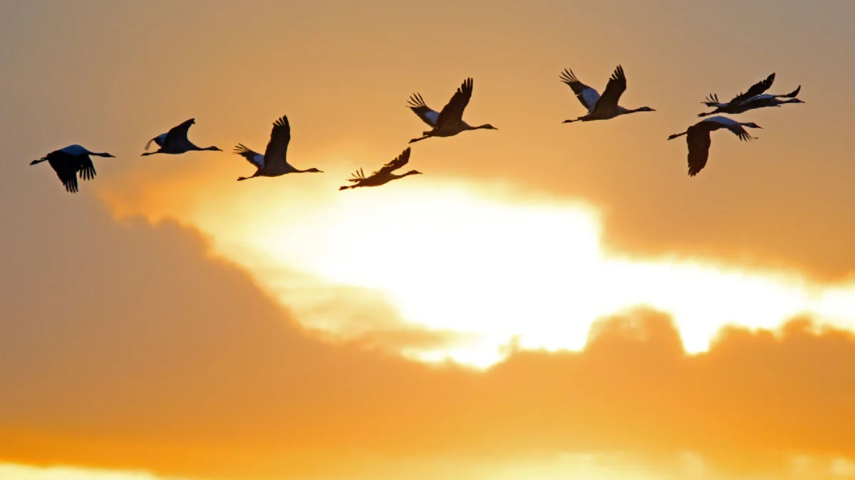
Every autumn, as the sun dips below the horizon and the temperatures across the United States begin to drop, a silent, colossal migration begins. Millions of birds—from tiny warblers to robust thrushes—take to the night sky, embarking on journeys that often span thousands of miles. To the human eye, the night appears empty, save for the occasional silhouette against a full moon. Yet, high above the ground, sometimes reaching altitudes of thousands of meters, a frantic, highly organized aerial highway is in motion. For decades, the sheer scale of this phenomenon remained largely hidden from public view, obscured by the veil of darkness. Today, however, ornithologists and data scientists have bridged this gap, utilizing sophisticated weather radar technology to monitor, map, and even predict these massive movements of avian life.
The reliance on weather radar to track biological activity is not a modern invention, but rather an accidental discovery born of the necessities of World War II. In the 1940s, British radar operators tasked with detecting incoming enemy aircraft began noticing persistent, fuzzy echoes on their screens that refused to behave like airplanes. These mysterious signals, which appeared to move slowly and lacked the distinct signature of metallic aircraft, were eventually dubbed "angels." While initially dismissed as atmospheric anomalies or equipment malfunctions, post-war researchers began to correlate these "angels" with the movement of birds. By the late 1940s and early 1950s, ornithologists had confirmed that the sensitive pulses of radar were bouncing off the bodies of millions of migrating birds, effectively turning military technology into the world’s first remote sensing tool for wildlife biology.
The Evolution of NEXRAD and Modern Surveillance
The technology used today is vastly more powerful than the crude systems of the mid-20th century. Modern ornithologists rely on the Next-Generation Radar (NEXRAD) network, or the WSR-88D (Weather Surveillance Radar-1988 Doppler). Originally designed to track severe storms, tornadoes, and precipitation, this network of high-resolution radar stations provides an unparalleled look at the movement of biological biomass across the continental United States.

The integration of this data into actionable science is largely driven by the BirdCast project, a multi-institutional collaboration featuring the Cornell Lab of Ornithology, Colorado State University, and the University of Delaware. By applying advanced algorithms to raw radar data, these researchers can filter out rain, snow, and industrial clutter to isolate the distinct "signatures" of bird flocks. These signatures allow scientists to estimate not only the density of the birds in the air but also their flight speed and direction. This capability has transformed our understanding of migration from anecdotal observation to a quantitative science.
Why Nocturnal Flight is an Evolutionary Advantage
The decision by many species to migrate at night is a strategic evolutionary adaptation. Diurnal migration is primarily reserved for larger species like hawks, eagles, and vultures, which rely on thermals—rising columns of warm air—to soar for hours with minimal energy expenditure. For smaller birds, however, the daylight hours are fraught with danger. Daytime is occupied by predators such as falcons and hawks, which are visually oriented hunters. By waiting for sunset, songbirds reduce their risk of predation.
Furthermore, the physical environment at night is more conducive to long-distance flight. The atmosphere is generally cooler and more stable at night, which helps birds manage the intense heat generated by their wing muscles during sustained flight. Additionally, the lower temperatures reduce the risk of dehydration. During the day, these birds can descend to the ground to forage for food, replenish their fat stores, and rest, effectively turning the migration process into a series of nightly endurance tests.
Quantifying the Scale of Migration
The numbers provided by radar analysis are staggering. On an average night during the peak of the fall migration season—typically occurring from late August through early October—it is estimated that upwards of one billion birds are in the air over the United States simultaneously. This mass movement is not merely a collection of individuals but a fluid, dynamic wave that sweeps across the landscape.

Radar imagery often reveals this as a distinctive, expanding pulse of energy that emanates from wooded or marshy areas shortly after dusk. When weather conditions are optimal, these pulses can cover thousands of square miles in a single evening. The data allows scientists to witness migration in real-time, observing how birds shift their routes in response to geographic features like mountain ranges or coastlines, and how they navigate around adverse weather systems.
Predictive Modeling and Scientific Forecasting
The most significant advancement in recent years has been the shift from monitoring past migration to predicting future events. Because birds are highly sensitive to meteorological conditions, they often time their departures to coincide with favorable wind patterns. Birds are masters of energy management; by waiting for a tailwind, they can significantly increase their flight speed while reducing their caloric expenditure.
By combining radar historical data with high-resolution weather forecasts, researchers at BirdCast can now predict major migration pulses up to three days in advance. These forecasts appear as heatmaps, highlighting areas where high concentrations of birds are expected to pass. This predictive capability has moved beyond academic interest, evolving into a critical tool for environmental conservation and urban planning.
Implications for Conservation and Urban Safety
The ability to predict when millions of birds will be flying overhead has immediate implications for the safety of migratory populations. One of the most significant anthropogenic threats to migrating birds is light pollution. Birds often become disoriented by the artificial glow of city lights, particularly on cloudy nights when they are forced to fly at lower altitudes. This leads to exhaustion, collisions with buildings, and unnecessary energy expenditure.

In response to these predictive models, conservation organizations and municipal governments have begun to implement "Lights Out" programs. When BirdCast alerts indicate that a major migration wave is imminent, cities can proactively dim non-essential exterior lighting, turning off floodlights on skyscrapers and encouraging homeowners to close their blinds. The data provides a scientific mandate for these actions, proving that small changes in human behavior can have a measurable impact on the survival rates of migratory species.
Future Directions in Avian Tracking
As technology continues to advance, the integration of radar data with other tracking methods, such as Motus wildlife tracking systems—which uses radio telemetry tags to track individual birds—is providing an even more granular look at migration. While radar gives us the "big picture" of biomass movement, telemetry provides the life history of individual travelers.
The analysis of these large-scale datasets also helps researchers identify "stopover" sites—crucial patches of habitat where birds rest and refuel. Protecting these areas is perhaps the most critical challenge in modern avian conservation. Without the data provided by radar, we might never have understood the importance of specific, often overlooked, land parcels that act as "refueling stations" for billions of birds.
Ultimately, the marriage of World War II-era radar technology with modern computational power has illuminated one of nature’s greatest mysteries. We now know that every autumn, a river of life flows through the night sky. By quantifying this migration, we are better equipped to protect it, ensuring that these ancient, seasonal journeys continue to unfold for generations to come. The "angels" that once puzzled radar operators in the 1940s are no longer a mystery; they are a vital, measurable, and protected component of our global ecosystem. As we move further into the 21st century, the continued monitoring of these aerial highways will remain a cornerstone of environmental policy, proving that even the most invisible natural phenomena can be managed and protected through the application of rigorous, data-driven science.

